CIVIL ENGINEERING

AUTOMOTIVE

FININC GROUP

Since the end of the 1980s, the entry into a large Italian group, the FININC Group, allowed SIPAL to establish itself in the infrastructures sector, and become a reference point for engineering design.

INNOVATIVE SOLUTIONS

SIPAL engineers are capable of finding the right solutions to the most technologically demanding and difficult problems. From the idea for an innovative product or process to its practical realisation, the road can be long and tortuous: SIPAL smooths the way!

The ability of its engineers to analyse problems, find the most technologically advanced solutions to them at the most economically advantageous price, design and calculate their components and, finally, engineer their implementation, allows SIPAL to give body and substance to its customer’s ideas.

Our skills

Design, Support,
Management

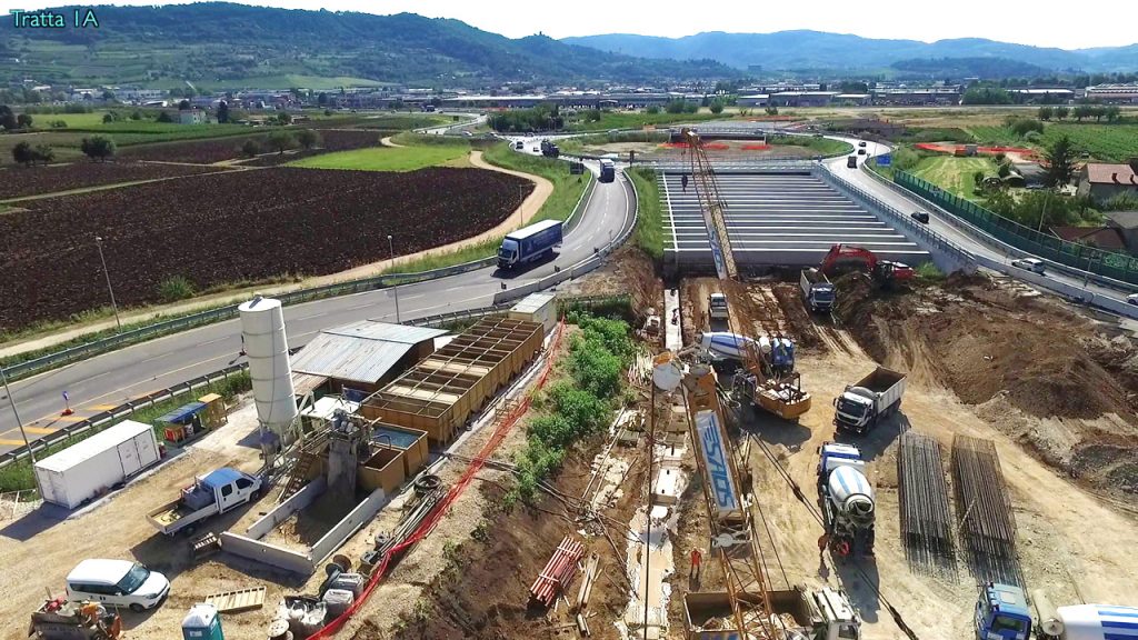
  • Territorial infrastructure design and civil engineering works from the preliminary to the executive phase in compliance with current standards on public procurement contracts.
  • Support activities to the PM (Project Manager) and consulting for Design Validation authorities.
  • Works management and safety coordination.

GENERAL CONTRACTOR

Through the SIS Consortium, SIPAL is qualified to act as General Contractor, drawing on the consolidated experience of the FININC Group in the field of industrial, civil and infrastructures construction.
On-Site assistance to the main Contractors during the construction phase of the works guarantees systematic control to ensure all customer demands.
La nostra proposta

Infrastructures, Structures,
Architecture

  • Roads of any category
  • Road Safety
  • Structures in reinforced concrete, pre-stressed concrete and steel
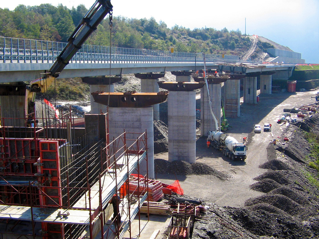
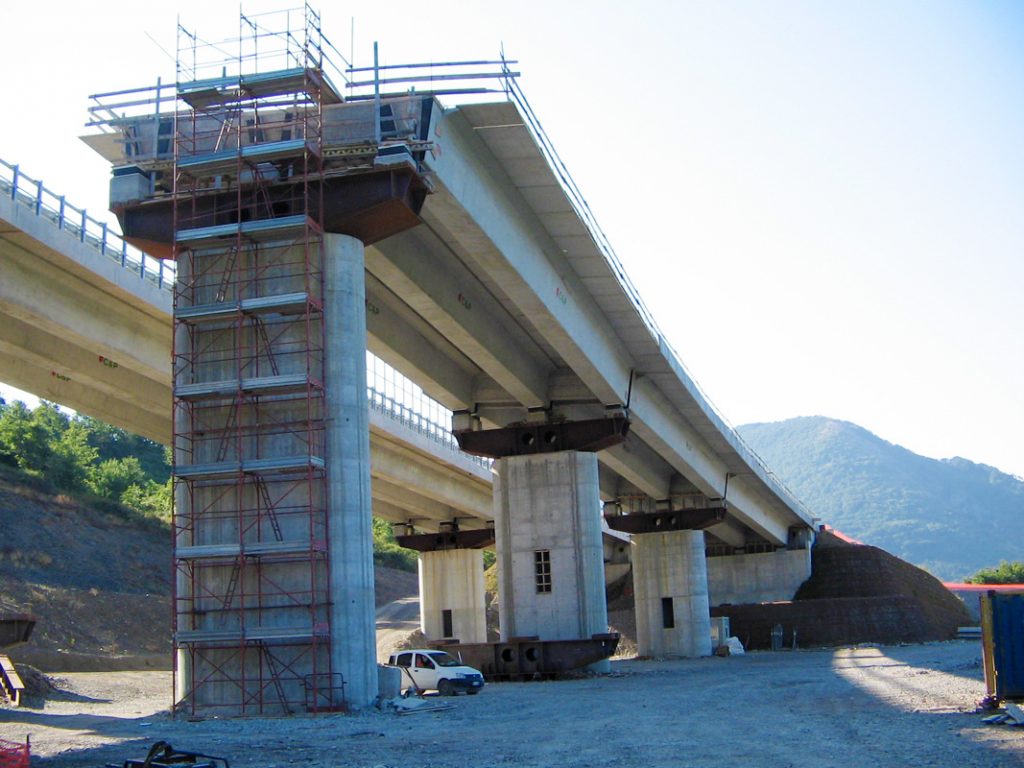
  • Bridges and viaducts
  • Natural and artificial tunnels
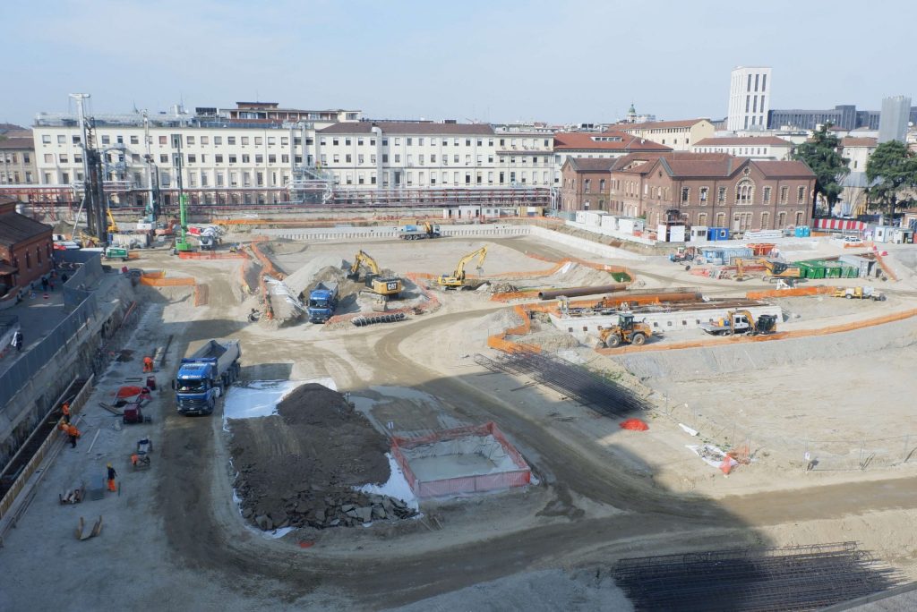
  • Special foundations
  • Temporary works
  • Hospitals
  • Residential construction
  • Logistics construction
  • Construction for the hospitality sector
  • Advanced tertiary construction

LARGE SCALE CONSTRUCTION

The integration of GIS and BIM is a real innovation for the design, construction and management of structures and infrastructures.
Thanks to the GIS platform it is indeed possible to aggregate and integrate data from different sources, using the geographic component as the connecting element for the data.
Asset characteristic data, information from field surveys, data related to scanned documents or document management systems, CAD drawings, photographs and geo-localized images, resulting information from SCADA systems: all this data can be displayed on a map, directly on a “Unified Dashboard“.
Infrastructure georeferencing, infrastructure construction process management, infrastructure maintenance process management, infrastructure monitoring through satellite data and on-site sensors, are just some of the activities that SIPAL guarantees its customers.
Our credentials

Environment, Hydraulics,
Plant

  • Environmental solutions
  • River solutions
  • Hydrological and hydraulic studies
  • Infrastructure networks
  • Maritime works
  • Mechanical plant
  • Electrical systems
  • Special installations
  • Safety & Security
  • Tunnel risk analysis
  • Transport infrastructure plant
  • Fluid-dynamic analysis for fume dispersal

ASSET MANAGEMENT PLATFORM

A team of engineers and professionals with decades of experience in the sector with 3 common aims: research and use of technology, absolute quality of the work undertaken, compliance with deadlines.

Our credentials

Project & Construction
Management

  • General coordination and technical-economic project management
  • Contract preliminary works
  • Construction site and infrastructure launch system studies
  • Technical assistance in every construction phase
  • Works Management
  • Information Technology
  • Quality Control
  • Time and cost monitoring

TERRESTRIAL MONITORING

Satellite data analysis is now the new frontier in the field of “static” environmental monitoring and design support.
Alongside traditional analysis techniques, based on aerial photography and environmental/cartographic measurement campaigns in the field, data from satellites permits further improvements in performance/cost ratio and reduces data acquisition times.
Satellite data makes it possible to simultaneously measure structural displacements in infrastructures and other anthropogenic and natural structures, with high data sampling frequencies, permitting simultaneous conduction of both static and dynamic analyses.
Our technology

A new frontier in the field of design and monitoring support

  • SATELLITE OPTICS: the satellite images undergo an analysis process called “Change Detection” using Remote Sensing techniques, which permit comparisons between the different acquisitions and identification of any changes.
    We offer a solution capable of using information derived from satellite images to monitor “buffer zones”, or areas where there is a specific need to guarantee and certify any environmental changes.
  • SATELLITE RADAR: satellite radar images are acquired through the use of special systems called “SAR” (Synthetic Aperture Radar) which, mounted on satellite platforms, provide electromagnetic images of the earth’s surface at frequencies between 500 MHz and 10 GHz with spatial resolution of a few meters. These systems are capable of monitoring surface movements in a territory to identify and possibly prevent landslides and soil instability that could impact and damage infrastructures.
  • GNSS – GLOBAL NAVIGATION SATELLITE SYSTEM:
    Space-based platforms based on Earth-Observation and global satellite navigation systems (GNSS) have recently become fundamentally important for continuous static monitoring, particularly in countries subject to high hydrogeological risk. The “GNSS Network” is one of the solutions for automatic and continuous monitoring and early warning of surface displacements and deformations of the ground, buildings and critical infrastructures, caused for example by phenomena such as landslides, subsidence or earthquakes. This solution includes all components, hardware and software necessary for carrying out the monitoring operations.
Menu